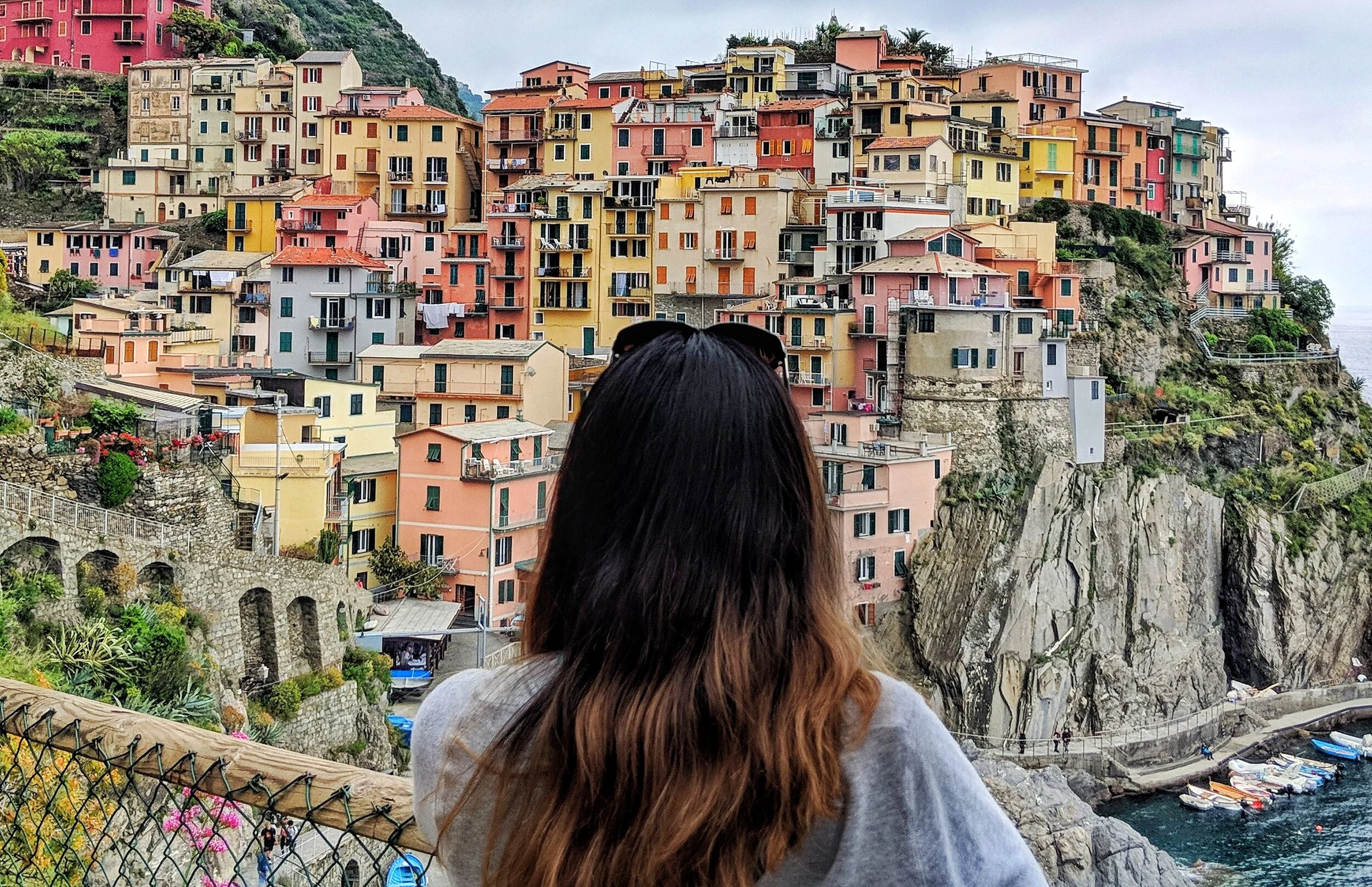
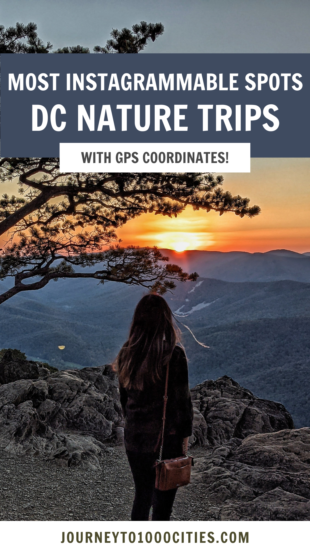
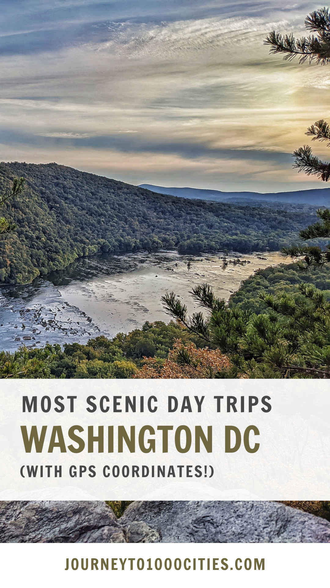
Best Day Trips from Washington DC (Nature Edition)
There are lots of socially distance day trips you can take from the DMV area that are just gorgeous to see. Here are some of my favorites— none of these spots require more than 2-3 hours of driving to get to.
Here are the Best Day Trips (Nature Edition) from Washington DC
I’ve also created a map with EXACTLY where to I took these photographs at the end. These pins come directly from the GPS marker on my photos.
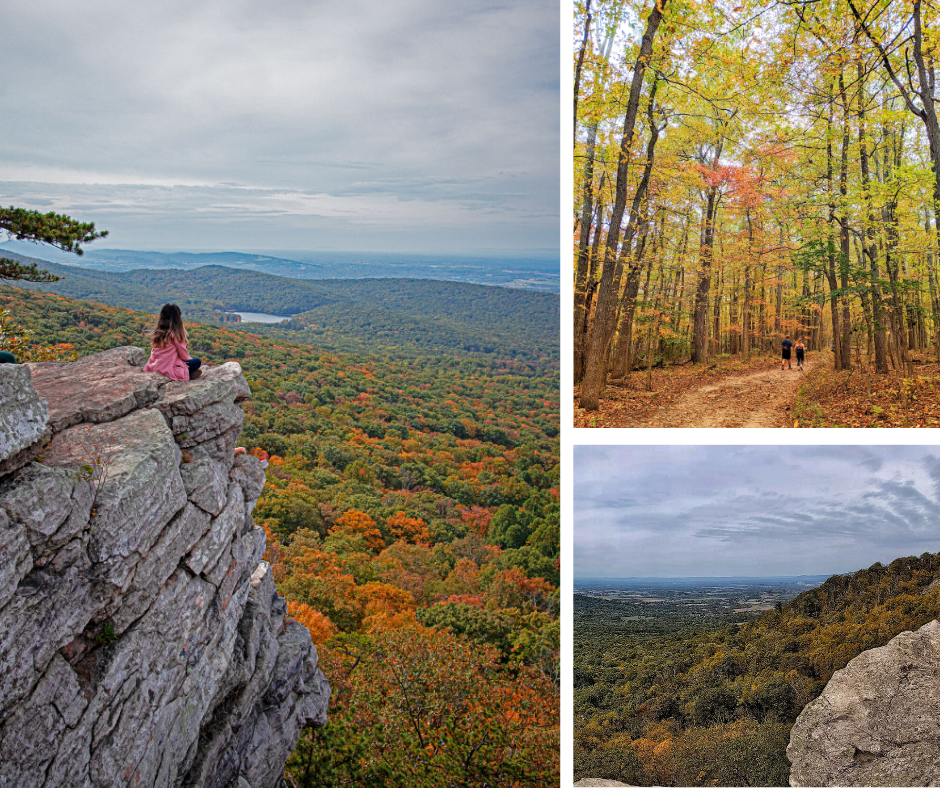
Annapolis Rock
If you’ve ever been to DCA and saw a photo of this hiker standing on top of an incredible cliff with stunning greenery…. that is Annapolis Rock. It’s an incredible busy hike, with a stunning view up on top.
TIP: If you’re just entering the words “Annapolis Rock” on Google Maps, it will take you to the wrong area. You must enter “Annapolis Rock Trailhead.”
Map Coordinates: 39°33'30.1"N 77°35'55.4"W
Distance from DC: 58 Miles, about 1 hour
Hiking Required: Yes, 5.1 miles.

Weverton Cliffs
Weverton Cliffs is probably one of the best kept secrets in the DMV area. This is an easy hike with gorgeous views of the Potomac River.
Map Coordinates: 39°19'55.2"N 77°40'35.6"W
Distance from DC: 59 Miles, about 1 hour
Hiking Required: Yes, 1.9 miles.

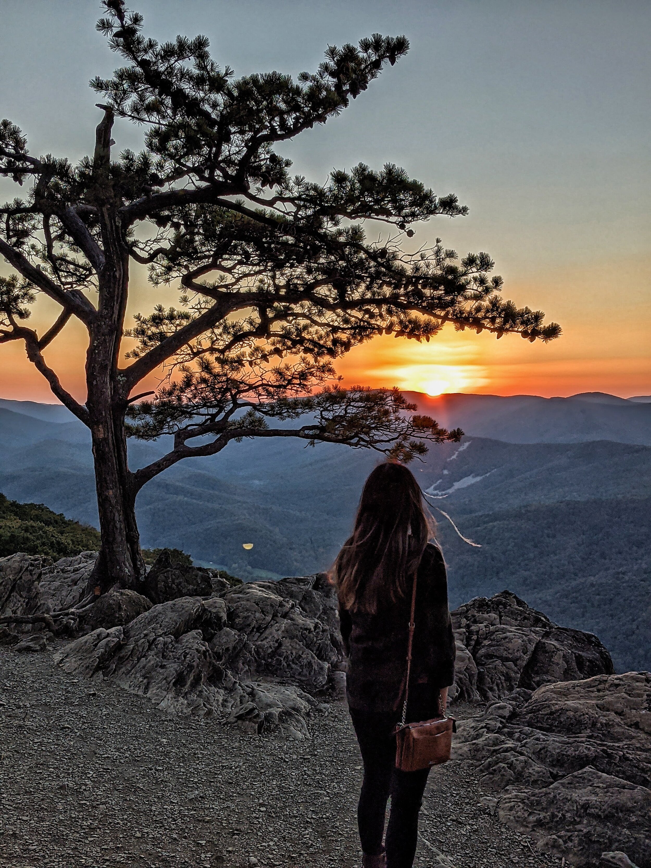
Ravens Roost
I couldn’t believe my eyes when we came here. Ravens Roost is one of the most beautiful spots I’ve ever seen in my life. The sunset, the tree, the hill, and rocks all make for a gorgeous shot.
Map Coordinates: 37°56'01.5"N 78°57'10.5"W
Distance from DC: 155 Miles, about 2.5 hours
Hiking Required: No
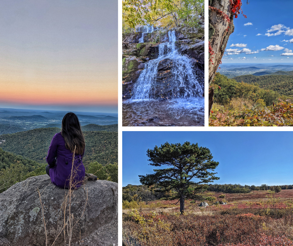
Shenandoah National Park
There’s lots of things to see and do in Shenandoah. I have a whole blog post about their most Instagrammable overlooks and spots here.
Map Coordinates: 38°38'45.0"N 78°18'26.7"W
Distance from DC: 71 Miles, about 2 hours
Hiking Required: Overlooks, no. Summits, yes.

Great Falls Park
Great Falls is so close and accessible to DC, everyone should come here at least once!
Map Coordinates: 38°59'42.7"N 77°15'10.4"W
Distance from DC: 18 Miles, about 30 minutes
Hiking Required: Not for the overlooks
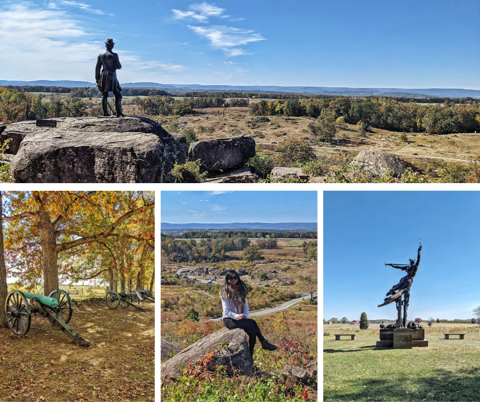
Gettysburg National Military Park
Gettysburg is much closer to DC than I thought— only 1.5 hours away and it’s definitely worth visiting this historic place. It’s also much larger than I thought— I recommend purchasing their app and doing a self guided auto tour so you can hear and follow the battle of Gettysburg.
Address: 1195 Baltimore Pike, Gettysburg, PA 17325
Distance from DC: 83 miles, 1.5 hours
Hiking Required: No

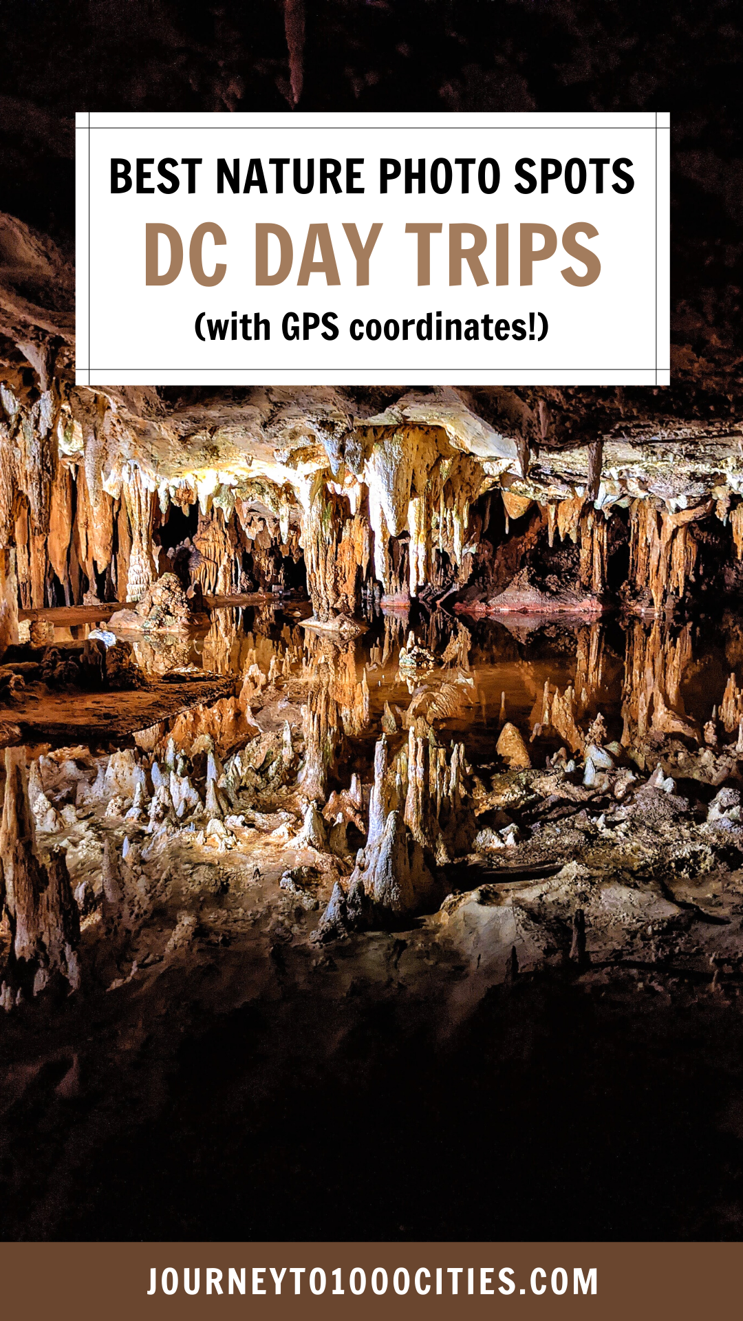
Luray Caverns
Luray Caverns is just gorgeous, and the rock formations is a must-see in person. It is a little pricey to come here, but the cavern was much larger than we anticipated so we think it was well worth the admission.
Address: 101 Cave Hill Rd, Luray, VA 22835
Distance from DC: 83 miles, 1.5 hours
Admission: $30
Hiking Required: No

Chiles Peach Orchard
Okay, so this isn’t necessarily nature— it’s a man-made orchard but I’m gonna throw it in here anyway. This is an excellent spot to pick apples or peaches and other fruit and also gorgeous to photograph.
Address: 1351 Greenwood Rd, Crozet, VA 22932
Distance from DC: 132 miles, 2.5 hours
Hiking Required: No
Map of the Most Instagrammable Nature Day Trips from Washington, DC.
Here’s a map of exactly where you can get the best Instagram photos for your next day trip. In order to use it, just open it on your phone and these pins should show up when you get to the island.
My most instagrammable maps include photos and a description at each pin so you know what you’re heading to.
You can also save and customize my maps for your own trip planning! Just click on the ‘view larger’ rectangle on the right hand corner -> copy map, and now you have a copy that you can customize to your interests during your visit!
Pin it on Pinterest!


Hi there! I'm Tari, and I’m embarking on a journey to 1000 cities. I’ll learn a lot about food, culture, photography, and customs along the way, so sharing my learnings and travel tips here!
This is the only travel blog that will offer fully customized and downloadable maps for your photo needs down to the GPS marker.
Follow me on IG: @Journeyto1000Cities